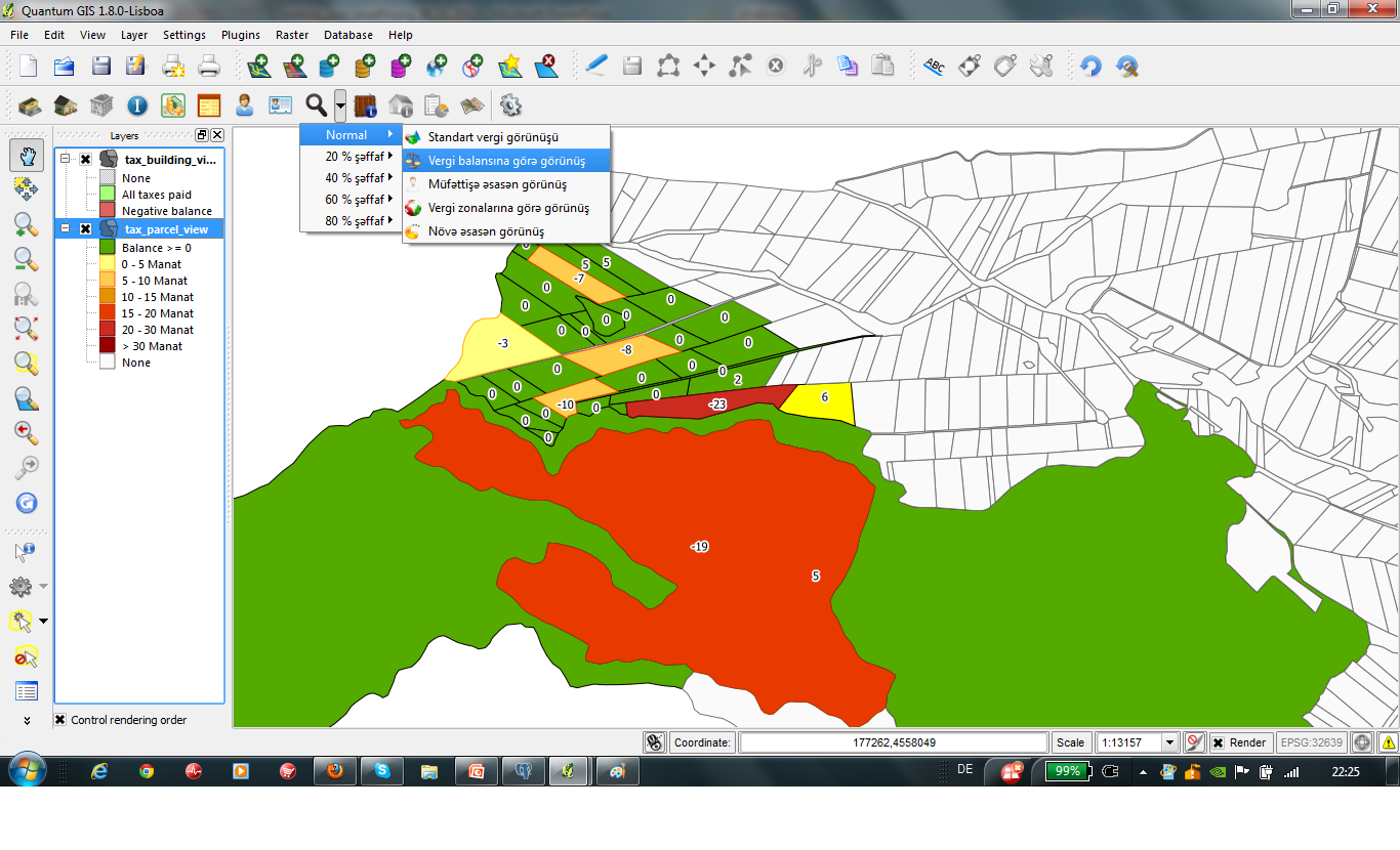
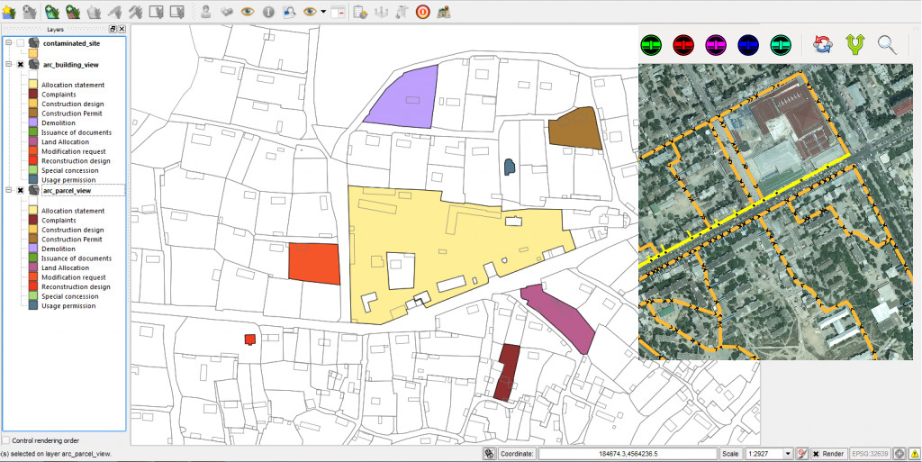
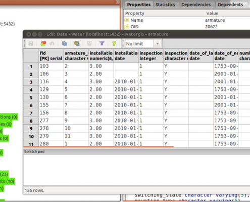
Maps and spatial analysis are often the base of planning. GCI manages the connection of geographical base data with thematic data and the visualization within a GIS. A reliable database management guarantees data security and data availability.
Our services
- Development of innovative GIS applications for all established platforms both as desktop or as mobile solution
- Development of web applications
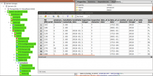
- Database development
- Training
Tools
- Desktop GIS – Quantum GIS – ArcGIS
- Web GIS – OpenLayers – UMN MapServer – GeoServer – Mapbender
- Databases – PostgreSQL – MySQL – SQLite
- Programming languages – C++ – Python – JavaScript – PHP


